 Panoramax
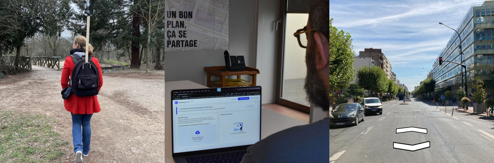
Panoramax is a digital resource for sharing and using 📍📷 street pictures.
Anyone can take photographs of places visible from the public space and add them to the Panoramax database. This data is then freely accessible and reusable. It offers a similar service to StreetView, Mapillary, KartaView... but a with a completely open-source software stack, and fully managed by a growing open community.
➡️ Give it a try :
- Federated catalog of all available pictures
- French Geography Institute (IGN) server
- OpenStreetMap France server
📦 Components
Panoramax software is modular and made of several components, each of them standardized and ♻️ replaceable. Many of them are historically called GeoVisio, and can be used out of Panoramax context as well.
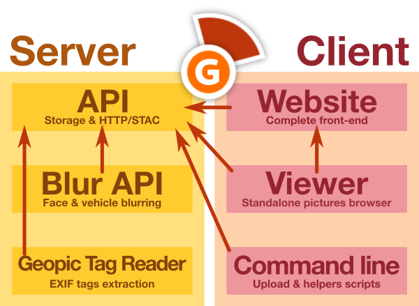
All of them are 📖 open-source and available on this Gitlab organization.
🤗 Special thanks

Panoramax and GeoVisio are made possible thanks to a group of ✨ amazing people ✨ :
- GéoVélo team, for 💶 funding initial development and for 🔍 testing/improving software
- Carto Cité team (in particular Antoine Riche), for 💶 funding improvements on viewer (map browser, flat pictures support)
- La Fabrique des Géocommuns (IGN) for offering long-term support and funding the Panoramax initiative and core team (Camille Salou, Mathilde Ferrey, Christian Quest, Antoine Desbordes, Jean Andreani, Adrien Pavie)
- Jungle Bus for UX testing and helping expanding the community
- Many many wonderful people who worked on various parts of GeoVisio or core dependencies we use : 🧙 Stéphane Péneau, 🎚 Albin Calais & Cyrille Giquello, 📷 Damien Sorel, Pascal Rhod, Nick Whitelegg...
- Adrien Pavie, for ⚙️ initial development of GeoVisio
- And you, ✨ the amazing community for making this project useful !